Heritage Protection & Environmental Missions
Two mission types, one sensor platform: documenting what must be preserved, and proving what a development will affect before it happens.
Non-Invasive Site Documentation
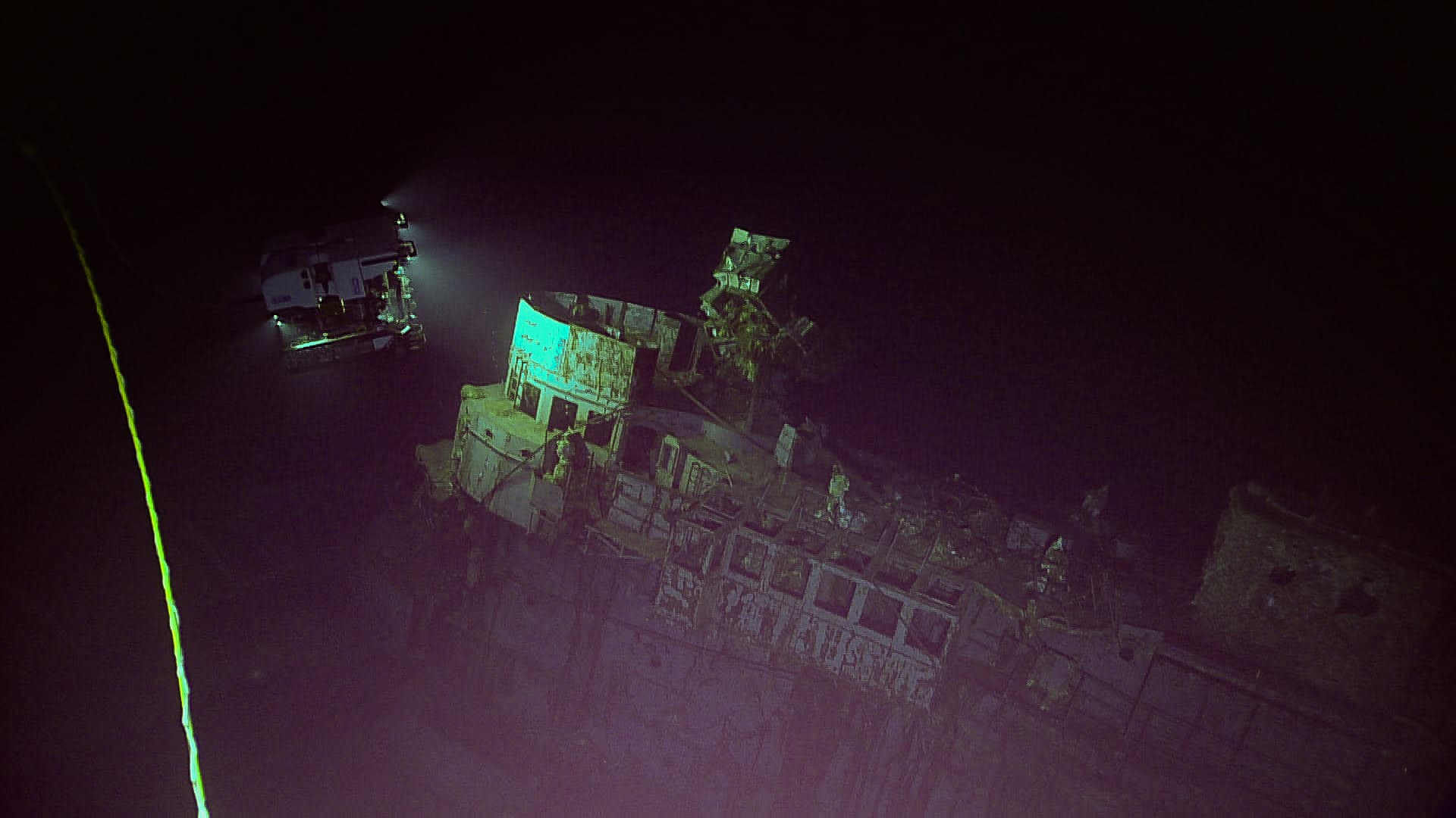
Full-coverage bathymetry and side-scan imagery of a wreck site or submerged artefact field, captured without disturbing the seabed. A baseline scan, repeated on a set cadence, turns condition monitoring into a comparison against real prior data rather than a memory of how a site looked last time someone visited.
Working With Heritage Authorities
Engagements run directly with the bodies responsible for a region's underwater heritage — ministries of culture, national archaeology services, and regional heritage authorities. The deliverable is evidentiary: timestamped, versioned survey data suited to a heritage record, not a client-only report.
A Documented Baseline
A site is only provably disturbed if it was provably documented first. Where a baseline scan exists, a later survey can show exactly what changed — an unauthorized intervention or looting attempt evidenced against real prior data, for the heritage authority responsible for the site, not a private recovery operation.
Habitat Mapping & Environmental Impact Auditing
Seagrass meadow boundaries, reef condition, and benthic habitat data — captured on the same sensor pass as a bathymetric survey, not a separate mobilization. For commercial developers, this becomes the baseline survey and monitoring record an environmental impact assessment is built on, ahead of offshore wind, port, or cable-route projects.
Ghost Net & Debris Detection Support
Side-scan sonar locates lost fishing gear and debris on the seabed; the ROV Pod confirms a find visually before a removal operation is mobilized. Velatus provides the detection and confirmation survey work that a removal effort is planned around — precise about which part of that chain this is.
Wreck Digital Twins, Aquaculture Audits & Water Sampling
The site documentation and habitat mapping described above are also sold as three specific, bookable services — 3D wreck and archaeological digital twins, aquaculture net and pen structural audits, and depth-profiled water quality sampling. See the Environmental, Aquaculture & Marine Heritage service listing for scope and deliverables on each.